PLANNING FOR GROWTH NORTH
  • Home
  • Northern Municipal Services
    • About Northern Municipal Services
    • District Administration (municipality) >
      • About the District (municipality)
      • Assessment Notice FAQ
      • Accounts Payable and Accounts Receivable
      • Employment Opportunities
    • Public Notices in the District
    • Northern Municipal Trust Account Programs >
      • About the NMTA & Board
      • Northern Capital Grants Program
      • Northern Water and Sewer Program
      • Wildfire Mitigation Project
    • Northern Planning and Sustainability Unit >
      • About NPS Unit
      • Planning for Growth North
  • Northern Communities & Areas
    • The Northern Saskatchewan Administration District (NSAD)
    • Towns >
      • La Ronge
      • Creighton
    • Northern Villages >
      • Air Ronge
      • Beauval
      • Buffalo Narrows
      • Cumberland House
      • Denare Beach
      • Green Lake
      • Ile-a-la Crosse
      • La Loche
      • Pelican Narrows
      • Pinehouse
      • Sandy Bay
    • Northern Hamlets >
      • Black Point
      • Cole Bay
      • Dore Lake
      • Jans Bay
      • Michel Village
      • Patuanak
      • St. George's Hill
      • Stony Rapids
      • Timber Bay
      • Turnor Lake
      • Weyakwin
    • District >
      • About
      • Northern Settlements >
        • About
        • Bear Creek
        • Brabant
        • Camsell Portage
        • Descharme Lake
        • Garson Lake
        • Missinipe
        • Sled Lake
        • Southend
        • Stanley Mission
        • Uranium City
        • Wollaston Lake
      • Resort Subdivisions >
        • About
        • East Trout Lake
        • Jan Lake
        • Keeley Lake
        • Lac La Plonge
        • Little Amyot Lake
        • Little Bear Lake
        • Michel Point
        • Napatak
        • Ramsey Bay
        • Sturgeon Weir
        • Tower Beach
        • Tyrrell Lake
        • Waden Bay
        • Whelan Bay
      • Cluster Subdivisions >
        • Deschambault Lake Subdivision
        • Eagle Point Subdivision
        • English Bay Subdivision
        • Kinoosao Subdivision
        • Lamp Lake Subdivision
        • Lloyd Lake Subdivision
        • Nemeiben Lake Subdivision
        • Potato Lake Subdivision
        • Sturgeon Landing Subdivision
      • Development and Land Sales in the District
      • Public Notices in the District
    • Lac La Ronge Planning Area >
      • About
      • Development in the Planning Area
      • Planning Bylaws & Maps
      • Advisory Northern Planning Commission
  • Toolkits & Resources
    • Legislation
    • Bylaw Guides
    • Population
    • Governance and Administration
    • Waterworks Reporting
    • Assessment & Taxation
    • First Nations & Métis Engagement
    • Community Health, Safety and Wellbeing
    • Land Use Planning
    • Emergency Preparedness and Community Safety
    • Maps & Databases
  • Contact Us

Northern Settlement of Wollaston Lake

Public Notices
  • Annual Notice to Consumers - Drinking Water Quality and Compliance(June 24, 2022)
  • Annual Waterworks Information (August 18, 2022)


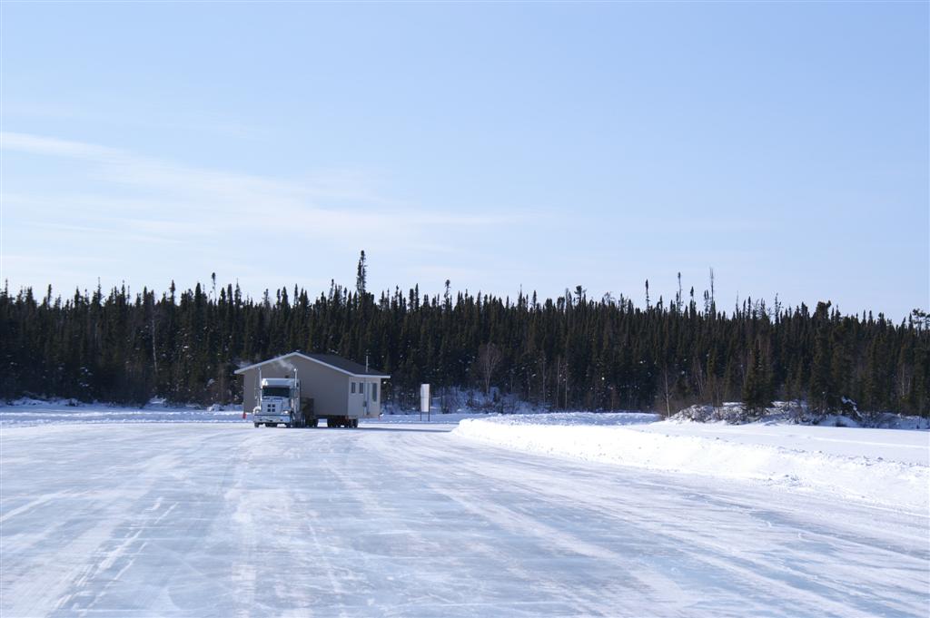
The Northern Settlement of Wollaston Lake is located on the eastern shores of Lake Wollaston in northeastern Saskatchewan, with a population of 96 (2021 Census).  The majority of economic development of this area centres around the local commercial fishery.


Population Stats
Community Base Map
Satellite Base Map
Picture

The Role of the Local Advisory Committee (LAC)

Click here to learn about the important role that the LAC plays in responsibly managing the affairs and the wellbeing of Wollaston Lake. 

Planning Documents

*All plans and bylaws available for download on this site may not include amendments and must not be used for legal purposes.
​Contact the settlement for updated bylaws and maps.*

Community Highlights (2012): The Saskatchewan Ministry of First Nations and Metis Relations, with help of the Ministry of the Economy conducted a snapshot in 2012 of the key components of the community, including: local government, demographics, economic environment, training and education, infrastructure, housing, emergency services, recreational opportunities, and the community's distance from larger centres.  
    
Community Highlights - 2012
File Size: 200 kb
File Type: pdf
Download File


Wildfire Risk Assessment (2005): The Saskatchewan Ministry of Environment actively attempts to educate residents about the threat of fire within municipalities.  They conducted an assessment of each municipality to determine the likelihood of wildfires, and implement FireSmart principles to help reduce the chances of wildfires starting.  
   
WRA - Wollaston Lake
File Size: 4649 kb
File Type: pdf
Download File


Back to Top

 Northern Municipal Services:
​1-800-663-1555
​NMS@gov.sk.ca

  • Home
  • Northern Municipal Services
    • About Northern Municipal Services
    • District Administration (municipality) >
      • About the District (municipality)
      • Assessment Notice FAQ
      • Accounts Payable and Accounts Receivable
      • Employment Opportunities
    • Public Notices in the District
    • Northern Municipal Trust Account Programs >
      • About the NMTA & Board
      • Northern Capital Grants Program
      • Northern Water and Sewer Program
      • Wildfire Mitigation Project
    • Northern Planning and Sustainability Unit >
      • About NPS Unit
      • Planning for Growth North
  • Northern Communities & Areas
    • The Northern Saskatchewan Administration District (NSAD)
    • Towns >
      • La Ronge
      • Creighton
    • Northern Villages >
      • Air Ronge
      • Beauval
      • Buffalo Narrows
      • Cumberland House
      • Denare Beach
      • Green Lake
      • Ile-a-la Crosse
      • La Loche
      • Pelican Narrows
      • Pinehouse
      • Sandy Bay
    • Northern Hamlets >
      • Black Point
      • Cole Bay
      • Dore Lake
      • Jans Bay
      • Michel Village
      • Patuanak
      • St. George's Hill
      • Stony Rapids
      • Timber Bay
      • Turnor Lake
      • Weyakwin
    • District >
      • About
      • Northern Settlements >
        • About
        • Bear Creek
        • Brabant
        • Camsell Portage
        • Descharme Lake
        • Garson Lake
        • Missinipe
        • Sled Lake
        • Southend
        • Stanley Mission
        • Uranium City
        • Wollaston Lake
      • Resort Subdivisions >
        • About
        • East Trout Lake
        • Jan Lake
        • Keeley Lake
        • Lac La Plonge
        • Little Amyot Lake
        • Little Bear Lake
        • Michel Point
        • Napatak
        • Ramsey Bay
        • Sturgeon Weir
        • Tower Beach
        • Tyrrell Lake
        • Waden Bay
        • Whelan Bay
      • Cluster Subdivisions >
        • Deschambault Lake Subdivision
        • Eagle Point Subdivision
        • English Bay Subdivision
        • Kinoosao Subdivision
        • Lamp Lake Subdivision
        • Lloyd Lake Subdivision
        • Nemeiben Lake Subdivision
        • Potato Lake Subdivision
        • Sturgeon Landing Subdivision
      • Development and Land Sales in the District
      • Public Notices in the District
    • Lac La Ronge Planning Area >
      • About
      • Development in the Planning Area
      • Planning Bylaws & Maps
      • Advisory Northern Planning Commission
  • Toolkits & Resources
    • Legislation
    • Bylaw Guides
    • Population
    • Governance and Administration
    • Waterworks Reporting
    • Assessment & Taxation
    • First Nations & Métis Engagement
    • Community Health, Safety and Wellbeing
    • Land Use Planning
    • Emergency Preparedness and Community Safety
    • Maps & Databases
  • Contact Us